- WE’RE HERE TO HELP | SE HABLA ESPAÑOL
- 800.586.5555
Will Hurricane Agatha Make Landfall in Florida?
Will Hurricane Agatha Make Landfall in Florida?

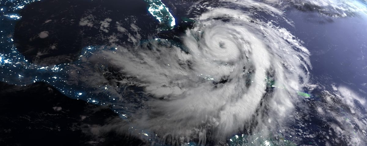
There’s a more than 50 percent chance the remnants of Hurricane Agatha will make landfall in Florida as a tropical storm. However, once it passes into warm Gulf of Mexico waters, it will be renamed Alex and become the first named storm of the North Atlantic hurricane season.
Unlike most Atlantic Basin hurricanes, which develop in the Atlantic near the equator off the west coast of Africa, Hurricane Agatha is actually a Pacific Basin storm. Unlike a traditional Atlantic Basin storm which moves northwest up to the Caribbean and Gulf of Mexico, Hurricane Agatha formed in the Pacific Ocean west of Central America. It hovered over warm equatorial waters before swinging northeast and making landfall near Puerto Ángel, Mexico.
The storm happened to land near one of the thinnest points of Mexico’s landmass, which means it has a relatively short overland trip to the Gulf of Mexico.
Agatha has the distinction of being the strongest hurricane to have struck Mexico in May, with sustained winds of 105 miles per hour.
What Is the Pacific Hurricane Season?
The Pacific Basin is a little different than the Atlantic Basin in that the hurricane season starts on May 15 instead of June 1. Hurricane Agatha could be both the first named storm for the Pacific Basin and the Atlantic Basin.
Is Hurricane Agatha Abnormal?
If you look at historical maps of the Pacific Hurricane Season, you might notice that Hurricane Agatha is a bit unusual but not entirely unique.
There have been storms that have taken very similar paths in the past 70 years. However, most of the storms that develop off the coast near Central America and Southern Mexico travel west out into the open Pacific Ocean, where they eventually dissipate. They can swing north into Mexico or east over Central America, but that’s usually not the path they take.
Will Hurricane Alex Be Florida’s First Hurricane of the Season?
It is unlikely that Tropical Storm or Tropical Depression Alex will develop into a hurricane, but it’s not impossible. Once Hurricane Agatha/Tropical Storm Agatha passes into the Atlantic Hurricane Basin, it will be renamed Alex, but at that point it will likely have been downgraded to a tropical storm or depression.
Tropical Storm Alex could restrengthen over warm Gulf Coast waters, but chances are it won’t have time to regain hurricane strength.
That being said, the tropical storm is still likely to make landfall in Florida or, if it changes direction, somewhere else along the Gulf Coast.
Where in Florida is Tropical Storm Alex Likely to Make Landfall?
Currently, the National Weather Service predicts a 60 percent chance Tropical Depression Alex will move east-northeast up to Florida’s southwest coast. That means every community from the Florida Keys and Flamingo in the South to Naples and Tampa to the north should make preparations for a potential tropical depression or tropical storm later this week (roughly June 3, 2022 to June 4, 2022).
Although Alex is unlikely to be a vicious hurricane, no tropical storm or even tropical depression is without risks for things like wind damage or flooding. Those risks are amplified if you’re unprepared.
Hurricane season is officially here, and Floridians should take this opportunity to double check their emergency supplies, make sure their weather radios have batteries, review evacuation plans with family members and stock up on any necessary materials.
If you haven’t had your roof inspected recently, now may be a good time to call a roofer.
The beginning of hurricane season is also the ideal time to review your homeowners insurance policy. Although your normal homeowners insurance won’t protect you from natural flood damage, it should provide wind protection.
Keep in mind you don’t have to settle for a high hurricane damage deductible. There are likely ways to make your hurricane deductible lower, at least if you’re willing to pay a higher home insurance premium.
If your home does suffer damage this hurricane season, make sure to thoroughly document the damage and speak with contractors or public adjusters who can accurately analyze your damage and repair costs. You don’t have to automatically accept the insurance company’s property damage claim denial or underpayment if you suspect they are wrong.
